

Hy-Brasil is a phantom island that appeared on European maps for over 500 years — positioned roughly 321 kilometres off the west coast of Ireland, west of Galway — then vanished from cartographic records entirely after the mid-19th century. The island was reported as real by sailors, monks, and navigators from at least 1325 until its last recorded sighting in 1872. To this day, some fishing communities along the Connaught coast treat the location where it was said to rise from the sea with a quiet, unspoken caution.
Few legends in Irish folklore carry the same strange weight as Hy-Brasil. It sits at the intersection of documented cartographic history, eyewitness accounts from credible mariners, and centuries of folk memory along Ireland’s western seaboard. Whether you believe it was a real island, a mirage, or something stranger still, its story is one of the most compelling mysteries Ireland has ever produced.
What Was Hy-Brasil?
The name Hy-Brasil derives from the Old Irish Í Bressail, meaning “Island of the Great King” or “Island of Bres” — Bres being a semi-divine figure in Irish mythology associated with prosperity and the Otherworld. In the medieval Irish imagination, the world did not end at the Atlantic shoreline. Beyond the visible horizon lay a series of blessed islands — Tír na nÓg, the Land of Youth; Mag Mell, the Plain of Honey; and Hy-Brasil, sometimes described as a circular island divided by a river running east to west, inhabited by a wise and wealthy civilisation who remained hidden from ordinary view.
What makes Hy-Brasil unusual among mythological islands is how thoroughly it crossed from folklore into official European cartography. The first known map to show it was the Angelino Dulcert chart of 1325, which placed a circular island called Bracile in the Atlantic west of Ireland. It appeared on dozens of maps over the following centuries, drawn by Portuguese, Genoese, Catalan, and Venetian cartographers — cartographers who had no reason to invent it and every commercial reason to be accurate.
On the famous Venetian Fra Mauro world map of 1450, it appears as a substantial landmass. By the 16th century, maps produced in the finest cartographic workshops in Europe — Ortelius, Mercator, Blaeu — all showed an island they called Brasil or Hy Brasil in roughly the same position, approximately 51°N and 15°W. It was treated not as a legend but as a fact of geography.
The Expeditions That Set Out to Find It
Between 1480 and 1481, two documented English expeditions sailed from Bristol specifically in search of Hy-Brasil. The voyages were funded by Bristol merchants who treated the island as a commercial objective — a real landmass where trade might be established. No record survives of either expedition finding the island, but the fact that they were funded at all tells us something important: Hy-Brasil was not a peasant superstition. Educated, wealthy men with ships and capital believed it was there.
In 1674, a Scottish sea captain named John Nisbet reported that his ship had been caught in fog roughly 200 kilometres off the Galway coast and that when the fog lifted, his crew found themselves anchored beside an island they had never seen on any chart. Nisbet described going ashore with four of his men. They spent a day on the island and encountered an old man — said by some accounts to be a magician — who gave them gold before the island apparently vanished as they sailed away. Nisbet’s account reached London and was published as a pamphlet. By the standards of the day, it was treated as credible.
The following year, another vessel — captained by one Alexander Johnson — reportedly confirmed Nisbet’s account, claiming to have also seen the island. Whether these sightings were genuine, a hoax, or an atmospheric phenomenon such as a Fata Morgana mirage, they added to a growing body of testimony from people who had sailed those waters professionally and believed in what they saw.
☘️ Enjoying this? 64,000+ Ireland lovers get stories like this every week.
Thinking about it for retirement?
If you’ve started thinking seriously about retiring there, our complete our full Retire in Ireland guide covers the visa, healthcare, cost-of-living, and the regions worth shortlisting.
Subscribe free →
Why Cartographers Eventually Removed It
By the late 18th century, European cartography was changing. The age of systematic ocean surveying had arrived, and the British Admiralty in particular was methodically charting the Atlantic with instruments and methods far more precise than anything available to earlier mapmakers. Survey after survey of the waters west of Galway found nothing. No island. No shoals. No bottom shallow enough to suggest a submerged landmass.
Hy-Brasil was quietly removed from British Admiralty charts in 1865. After more than 500 years on the maps of the known world, it was reclassified as a geographical error — a piece of cartographic misinformation that had been copied from map to map without anyone ever verifying its existence.
The Atlantic Ocean at 51°N, 15°W is now known to be one of the deepest stretches of sea in the North Atlantic, reaching depths of over 2,000 metres. There is no geological possibility of an island there. If Hy-Brasil exists, it is not made of rock and soil.
What, then, were all those cartographers drawing? The most compelling scientific explanation is the Fata Morgana — a complex form of superior mirage that occurs in certain atmospheric conditions over cold ocean water. Fata Morgana can produce startlingly realistic images of landmasses that appear solid, detailed, and persistent for hours at a time. Sailors who saw one in the North Atlantic would have had no framework to explain it as an optical phenomenon. They would have recorded it as land.
Some researchers have also suggested that Hy-Brasil may be a cultural memory of the Porcupine Bank, a shallowing of the seabed about 200 kilometres west of Ireland that can reach depths of only 200 metres. At various points during the Ice Age, when sea levels were significantly lower, the Porcupine Bank would have been above water — a genuine island in the Atlantic that was later drowned as the glaciers melted. If oral traditions about it survived in some form into the early medieval period, they may have been blended with Otherworld mythology and given the name Hy-Brasil.
The Last Sighting — and What Happened Afterwards
The last credible recorded sighting of Hy-Brasil came in 1872. T. J. Westropp, a respected Irish antiquarian and folklorist who documented much of Clare and Connaught’s folklore in the late 19th century, wrote that he had seen an island appear briefly in the Atlantic on three separate occasions while sailing in that area. On his fourth visit, in 1872, he brought his mother and several friends specifically as witnesses. By all accounts, the island appeared — briefly visible above the horizon — before vanishing again.
Westropp was a serious scholar, not a sensationalist. His account has never been convincingly debunked. It remains the last documented eyewitness claim of having seen Hy-Brasil.
After 1872, the island’s presence fades from the record. But it never entirely disappeared from local memory along Ireland’s western coast. Among fishing communities in Connaught — particularly around Clifden, Roundstone, and Inishbofin — stories persisted well into the 20th century of fishermen who reported seeing a dark shape on the horizon that was not there when they looked again, or who avoided certain stretches of water west of Galway without being able to fully explain why.
These are not dramatic ghost stories. They are quieter than that — a reluctance, a habit of giving certain coordinates a wide berth, a tendency to say nothing and change course.
Hy-Brasil in Irish Culture and Beyond
The island’s influence on Irish cultural imagination is considerable. It appears in poetry and song throughout the 19th century, most famously in Gerald Griffin’s 1826 poem Hy-Brasail, the Isle of the Blest, which treats the island as a lost paradise — a place of perpetual summer and spiritual peace just beyond the visible horizon. The poem was widely read and helped fix Hy-Brasil in the popular Irish imagination as a metaphor for something beautiful and unattainable.
Interestingly, the name “Brazil” — the South American country — may derive from the same source. Portuguese mariners who had long searched the Atlantic for Hy-Brasil may have used their maps of the legendary Irish island when they began exploring the coast of South America, applying the familiar name to what they hoped was finally the island they had been seeking. The etymological connection is debated among historians, but it is taken seriously by scholars of the Age of Exploration.
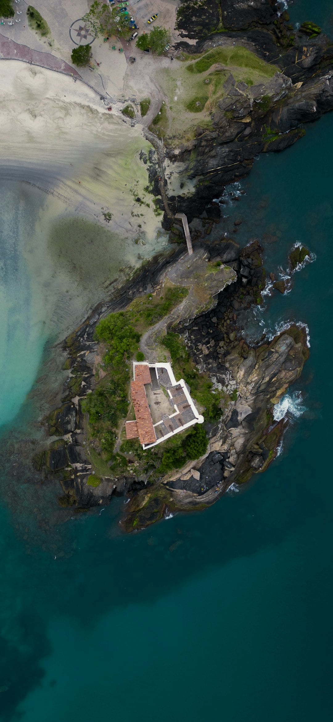
For travellers visiting the west of Ireland today, the stretch of coastline most associated with Hy-Brasil lies between Clifden in Connemara and the Aran Islands in Galway Bay. Standing on the edge of Connaught on a clear day, looking west across the Atlantic, it is genuinely easy to understand how this landscape produced so many legends of what lies beyond. The horizon here feels closer and stranger than anywhere else in Europe.
If you are planning a trip to Galway or Connemara, our complete Ireland planning guide covers how to get there, when to visit, and how to structure your time along the Wild Atlantic Way. For walking the landscape where these legends were born, see our County Galway guide and our guide to County Clare, which lies to the south of Galway Bay.
What is Hy-Brasil?
Hy-Brasil is a phantom island that appeared on European maps from 1325 until 1865, positioned roughly 321 kilometres west of the Galway coast in the Atlantic Ocean. It was treated as a real geographic location by cartographers for over 500 years before being removed from charts when systematic ocean surveys found no island in its recorded position.
Has anyone ever actually seen Hy-Brasil?
Multiple credible historical accounts describe sightings, including documented voyages from Bristol in 1480–1481 and reports from sea captains John Nisbet (1674) and Alexander Johnson (1675). The last recorded sighting was by Irish antiquarian T. J. Westropp in 1872, who brought witnesses to verify the experience. Scientists today generally attribute such sightings to the Fata Morgana atmospheric mirage effect.
Where is the best place to visit near the Hy-Brasil location in Ireland?
The stretch of Atlantic coastline most associated with Hy-Brasil runs from Clifden in Connemara south to the Aran Islands in Galway Bay. The Cliffs of Moher in County Clare also overlook the relevant stretch of Atlantic. Both areas are accessible by car and offer dramatic views west towards the open ocean.
Is there a connection between Hy-Brasil and the country Brazil?
Possibly, yes. Portuguese navigators who had long searched the Atlantic for the Irish phantom island Hy-Brasil may have applied the familiar name to the South American coastline when they encountered it in the early 16th century. The etymological link between the Irish Í Bressail and the name Brazil is taken seriously by some scholars of the Age of Exploration, though it remains debated.
☘️ Your Irish family has a story waiting to be found.
Discover where your Irish ancestors came from — their county, their name, their story. Our free step-by-step guide walks you through every record, DNA tool, and ancestry archive. No experience needed.
Already subscribed? Download your free Ireland guide (PDF)
📲 Know someone who’d love this? Share on WhatsApp →
Love more? Join 43,000 Scotland lovers → · Join 29,000 Italy lovers → · Join 7,000 France lovers →
Free forever · Unsubscribe anytime
Frequently Asked Questions
Was Hy-Brasil actually a real island?
That remains unknown. Sailors, monks, and navigators reported it from at least 1325 until 1872, and it appeared on dozens of European maps, but it eventually vanished from cartographic records entirely—leaving open the question of whether it was a real landmass, a mirage, or something stranger altogether.
Where was Hy-Brasil located?
Historical maps placed it approximately 321 kilometres off Ireland’s west coast, west of Galway. Fishing communities along the Connaught coast apparently took the legend seriously enough to treat the reported location with caution.
What does the name Hy-Brasil mean?
The name comes from the Old Irish *Í Bressail*, meaning “Island of the Great King” or “Island of Bres”—Bres being a semi-divine figure in Irish mythology linked to prosperity and the Otherworld. Medieval Irish tradition envisioned it as a circular island divided by a river, inhabited by a wise and wealthy civilization hidden from the everyday world.
How long was Hy-Brasil believed to exist?
For over 500 years, from its first appearance on a 1325 map by Angelino Dulcert until its last recorded sighting in 1872. Unlike other Irish mythological islands, Hy-Brasil was unusual in crossing directly from folklore into official European cartography, lending it substantial historical credibility.
Continue Planning
- The Irish Island That Disappeared from Every Map — and the Fishermen Who Still Avoid It
- Why the Giant’s Causeway Makes You Feel Wonderfully, Speechlessly Small
- Irish Surnames from Tipperary – Origins, Meanings & Heritage Roots
Tours & experiences you might love


Powered by Viator. Some links are affiliate links — we may earn a small commission at no extra cost to you.
Secure Your Dream Irish Experience Before It’s Gone!
Planning a trip to Ireland? Don’t let sold-out tours or packed attractions spoil your journey. Iconic experiences like visiting the Cliffs of Moher, exploring the Rock of Cashel, or enjoying a guided walk through Ireland’s ancient past often sell out quickly—especially during peak travel seasons.

Booking in advance guarantees your place and ensures you can fully immerse yourself in the rich culture and breathtaking scenery without stress or disappointment. You’ll also free up time to explore Ireland’s hidden gems and savour those authentic moments that make your trip truly special.
Make the most of your journey—start planning today and secure those must-do experiences before they’re gone!
Subscribe Free