

These are ten walking trails in Ireland, from week-long waymarked ways to half-day loops, each with its distance, time and the practical details you need before you set off. We picked them for scenery, variety and how realistic they are for a visitor, and we have checked the figures against Sport Ireland, Fáilte Ireland and the official Cliffs of Moher page. For a wider list of routes, see our full guide to the best walks and hikes in Ireland.
Distances and times vary slightly between sources, so treat them as a guide and check current conditions and closures before you go.
| Trail | County | Why go | Key fact |
|---|---|---|---|
| The Kerry Way | Kerry | Longest loop on the list | 232 km, about 9 days |
| The Wicklow Way | Wicklow | Starts in Dublin | 128 km, about 6 days |
| The Dingle Way | Kerry | Peninsula loop from Tralee | 163 km, about 7 days |
| Glendalough Spinc Loop | Wicklow | Best day walk in the east | 8.8 km, about 3.5 hours |
| Cliffs of Moher Coastal Walk | Clare | Cliff walk (partly closed) | Doolin to Surfers Path only |
| Howth Cliff Path Loop | Dublin | No car needed (DART) | 7.8 km, about 2 hours |
| Slieve League and Bunglass | Donegal | Big cliffs, short walk to the view | Road to Bunglass viewpoint |
| Diamond Hill | Galway | Short, steep Connemara summit | 6.2 km, about 2 hours |
| Croagh Patrick | Mayo | Ireland’s holy mountain | 764 m, 3 to 4 hours |
| Sheep’s Head Way | Cork | Quiet loop from Bantry | About 88 to 93 km |
1. The Kerry Way, County Kerry
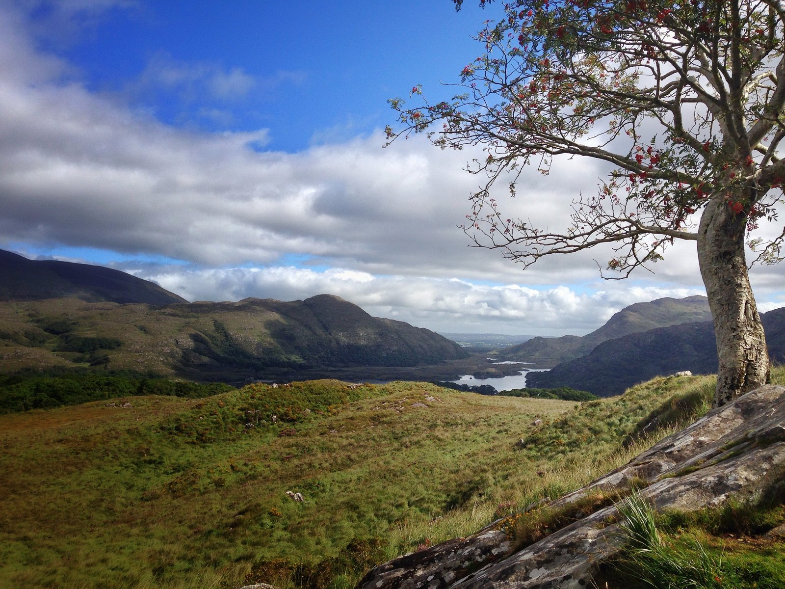
A 232 km loop around the Iveragh Peninsula that starts and finishes in Killarney. It is the longest trail on this list and the one that feels most like a journey: lakes, mountain passes and open Atlantic, with Sport Ireland giving nine days as the time to allow. It is also not a gentle stroll. Sport Ireland grades it strenuous, and about 77 km (36%) of it follows local roads.
Know before you go
- Distance and time: 232.1 km, about 9 days (Sport Ireland).
- Start and finish: Killarney, a loop.
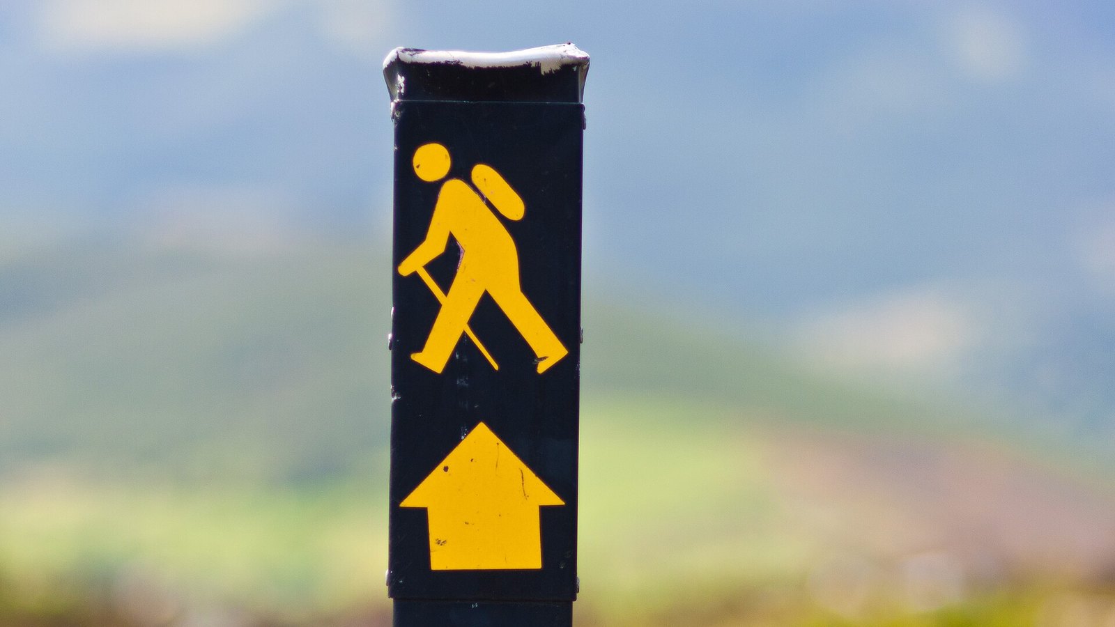
- Waymarking: yellow arrow on a black background.
- Dogs: not permitted on the Kerry Way.
- Watch for: the section between Derrycunnihy Church and Lord Brandon’s Cottage floods after heavy rain; some stretches have long gaps between places to stay, so plan each day’s stage in advance.
Official information: Sport Ireland: Kerry Way trail page.
2. The Wicklow Way, County Wicklow
Ireland’s best-known long-distance path starts in Marlay Park in south Dublin and ends in the Carlow village of Clonegal, climbing through the Wicklow Mountains in between. Because the start is on the edge of the capital, it is the easiest multi-day trail on the list to reach by public transport. Sport Ireland grades it strenuous.
Know before you go
- Distance and time: 128.1 km, listed as 6 days by Sport Ireland (some guides allow 7).
- Start and finish: Marlay Park, Rathfarnham, to Clonegal, Co. Carlow (linear, so plan your return).
- Waymarking: yellow arrow on a black background.
- Dogs: not allowed.
- Watch for: a reroute is in place near Drumgoff because of forestry works; most accommodation is off the route, and Clonegal has limited facilities.
Official information: Sport Ireland: Wicklow Way trail page.
3. The Dingle Way, County Kerry
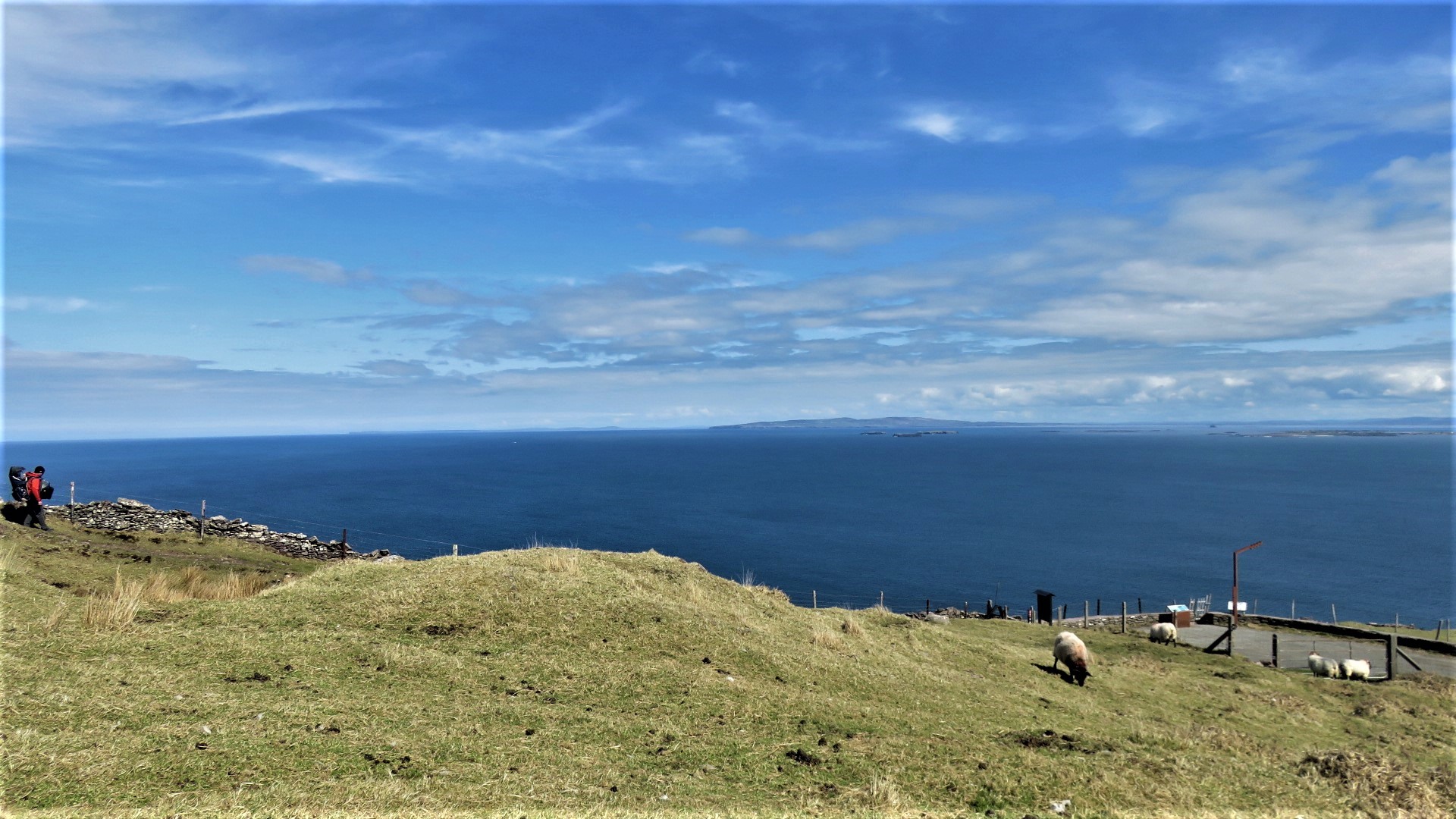
A loop of about 163 km that begins and ends in Tralee and circles the Dingle Peninsula, with Irish-speaking villages and the Atlantic in view for much of the way. Nearly half the route (76 km) is on local roads, so expect a mix of coast path, lane and mountain track.
Know before you go
- Distance and time: 162.9 km, about 7 days (Sport Ireland).
- Start and finish: Tralee, a loop.
- Waymarking: yellow arrow on a black background; Sport Ireland notes some waymarking and surface issues.
- Dogs: not allowed, and walkers may meet loose dogs between Lispole and Dingle.
- Watch for: some land is private and open by landowner permission; the route is closed one day a year, on 28 February.
Official information: Sport Ireland: Dingle Way trail page. Our guide: Why Dingle is so popular: pubs, coast and food.
4. Glendalough Spinc and Glenealo Valley Loop, County Wicklow
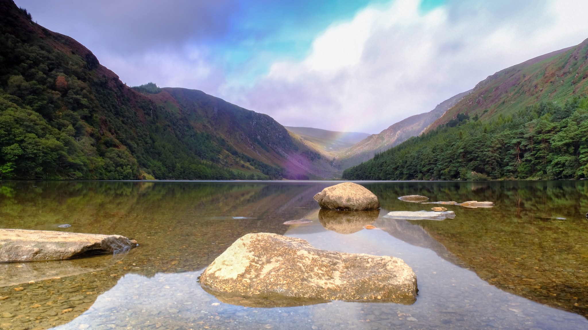
The best day walk in the east. The loop climbs the Spinc ridge high above the Upper Lake, then drops back through the Glenealo Valley, so you see the glacial valley from above and then from the valley floor. It is graded strenuous, with 380 m of ascent.
Know before you go
- Distance and time: 8.8 km, about 3 hours 30 minutes (Sport Ireland; other guides measure it nearer 9.5 km).
- Format: loop in Glendalough, waymarked white.
- Watch for: a steady climb, so wear boots and carry waterproofs.
Official information: Sport Ireland: Spinc & Glenealo Valley.
5. Cliffs of Moher Coastal Walk, County Clare
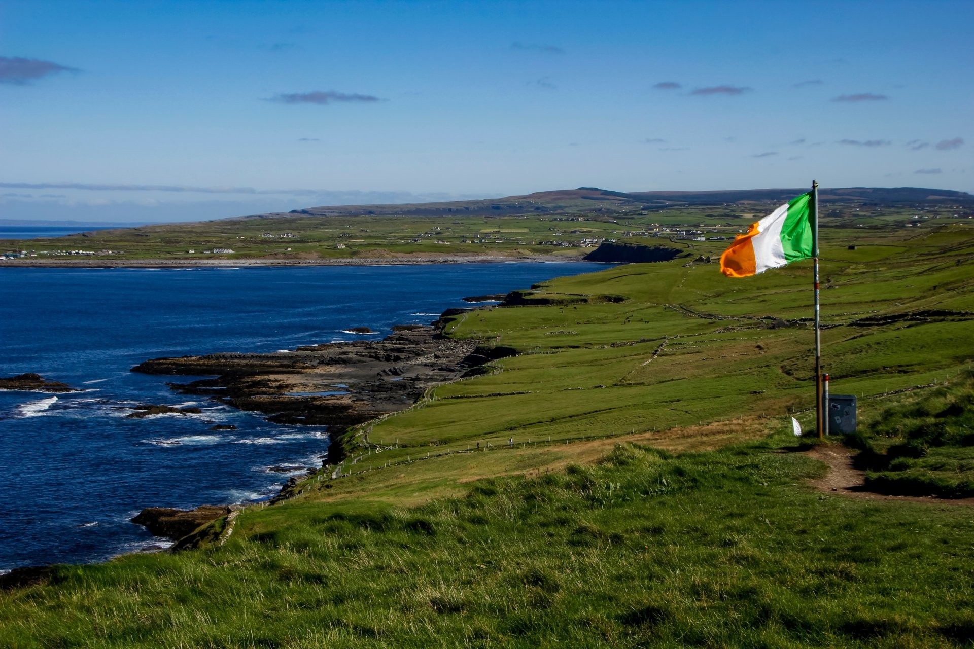
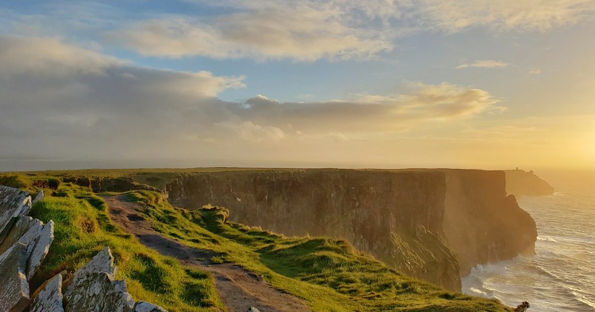
The classic cliff-top walk from Doolin towards the Cliffs of Moher, with the Atlantic far below. Check before you go: the full Doolin to Liscannor route is not currently walkable. The official Cliffs of Moher page lists the Liscannor/Hag’s Head section (6 km to the Cliffs of Moher Experience) as fully closed for safety reasons, and the Doolin side is open only as far as Surfers Path, where walkers must turn back.
Know before you go
- Status (official page, 1 August 2026): southern section closed; northern section open from Doolin to Surfers Path only; no access to the Cliffs of Moher Experience from Doolin.
- Safety: stay on the designated paths and do not go beyond walls or barriers; avoid walking on the road at Surfers Path, which is hazardous.
- Alternative: the Cliffs of Moher Experience is open and the official page describes a 3.5 km round trip around the main viewing areas.
Official information: Cliffs of Moher: coastal walk status. Our guide: the Clare coast road through Ennistymon and Liscannor.
6. Howth Cliff Path Loop, County Dublin
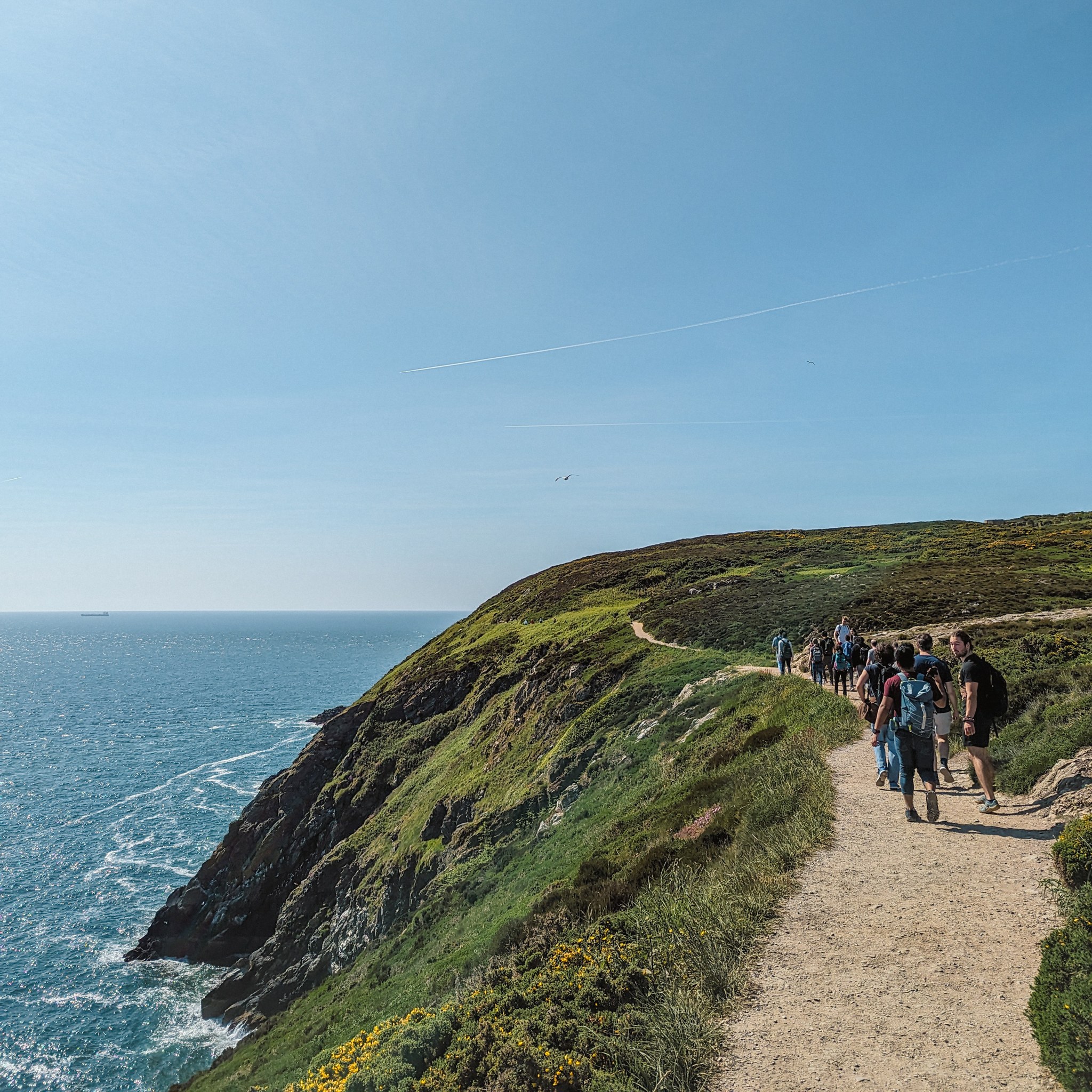
A loop of 7.8 km that starts and finishes at Howth DART station, so you can do it without a car. It stays on the headland above the Irish Sea, with about 130 m of ascent, and Sport Ireland grades it moderate.
Know before you go
- Distance and time: 7.8 km, about 2 hours (Sport Ireland).
- Getting there: DART to Howth; the loop starts and finishes at the station.
- Waymarking: green arrow on a white background.
- Watch for: Sport Ireland notes the terrain is quite rough, so wear strong footwear.
Official information: Sport Ireland: Howth Cliff Path Loop.
7. Slieve League and Bunglass, County Donegal
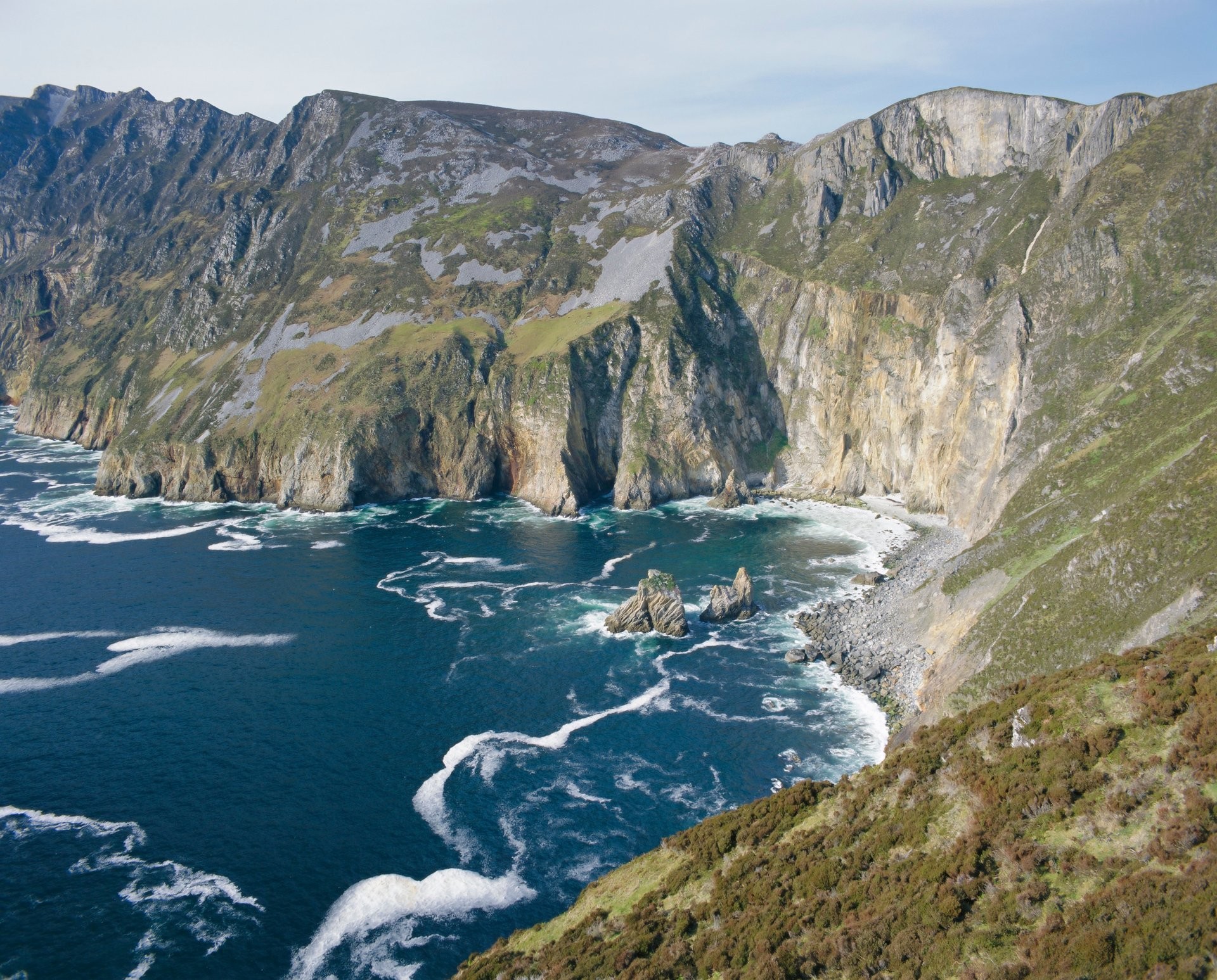
Huge sea cliffs on the south Donegal coast. The easiest way to see them is the Bunglass viewpoint, reached by road from Teelin, so you do not need a long hike to get the view. Walkers with a head for heights can continue along the cliff, but conditions change quickly in wind, fog and rain, so stay well back from the edge.
Know before you go
- Getting there: from Teelin to the Bunglass viewpoint. Sources disagree on car park fees, shuttle prices and visitor centre hours, so confirm them with the visitor centre before you travel.
- Watch for: a 2026 report says Donegal County Council has proposed parking bylaws at Sliabh Liag; check whether they apply.
Official information: Discover Ireland: Slieve League Cliffs Centre. Our guide: what life is really like in County Donegal.
8. Diamond Hill, County Galway
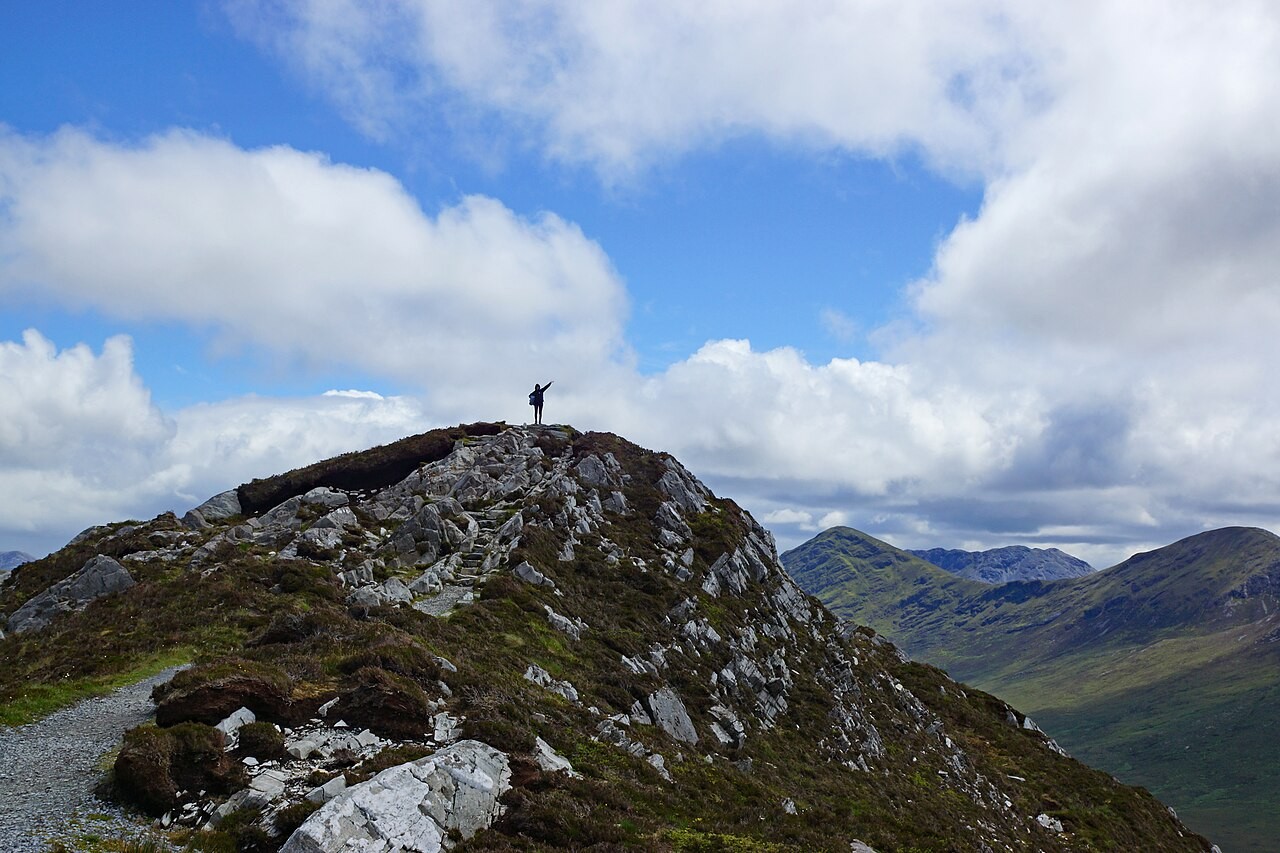
A short, steep mountain walk from the visitor centre in Connemara National Park. The loop of 6.2 km takes about two hours and climbs 400 m, so it is graded strenuous even though it is short. It rewards you with views over Connemara. Official info: en.wikipedia.org/wiki/Diamond_Hill.
Know before you go
- Distance and time: 6.2 km, about 2 hours (Sport Ireland).
- Start: alongside the Visitor Centre in Connemara National Park; the nearest town is Letterfrack.
- Waymarking: the Lower Loop is marked with blue arrows and the Upper Loop with red arrows, on timber posts.
- Dogs: allowed, under control and on a lead.
Official information: Sport Ireland: Diamond Hill. Our guide: things to do in Clifden.
9. Croagh Patrick, County Mayo
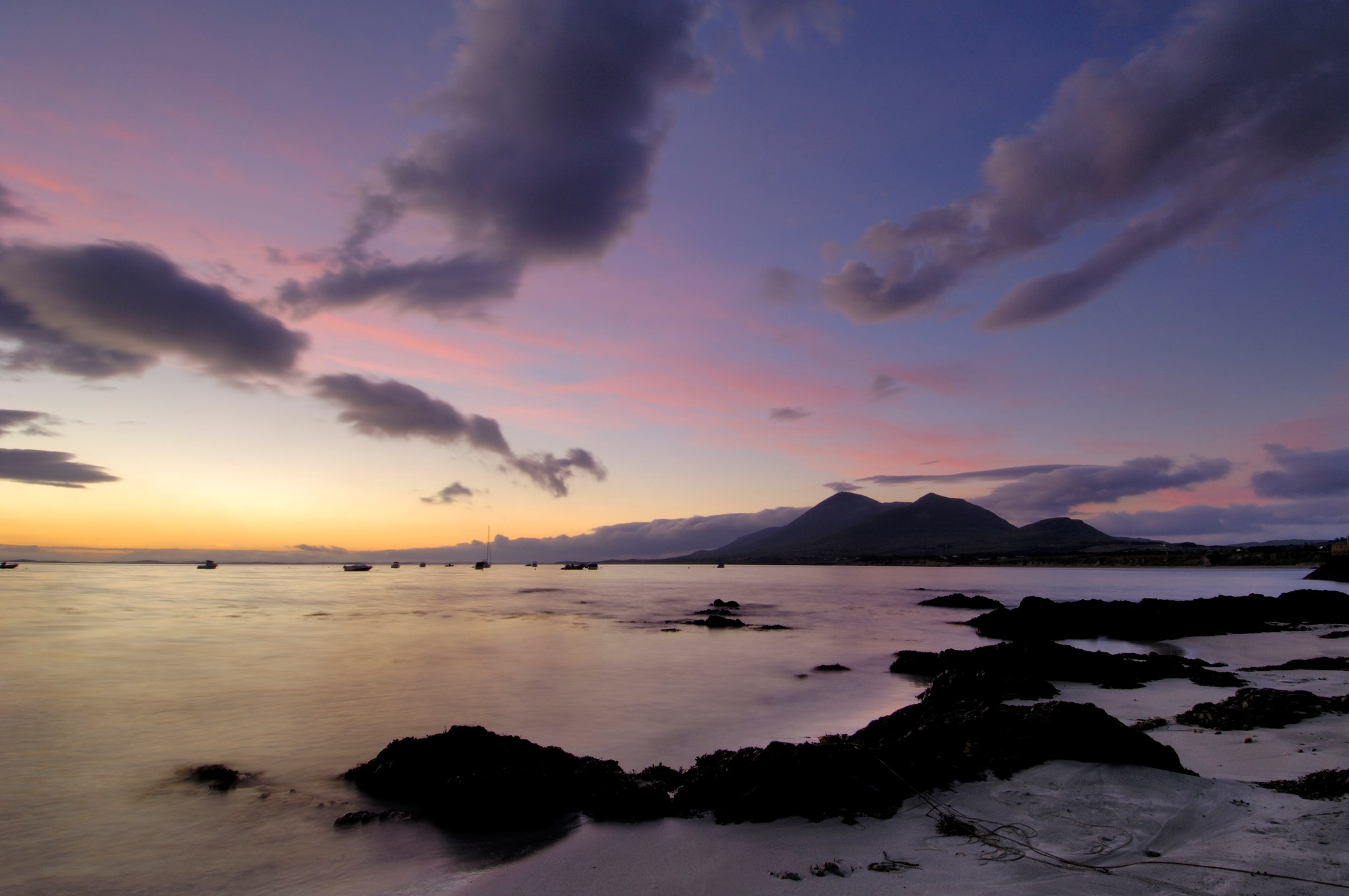
Ireland’s holy mountain rises to 764 m above Clew Bay. The Pilgrim Path is about 7 km and takes roughly three to four hours there and back. It is steep, and sometimes rocky and muddy, with no major technical sections, but it needs reasonable fitness. Official info: en.wikipedia.org/wiki/Croagh_Patrick.
Know before you go
- Distance and time: about 7 km, 3 to 4 hours round trip (Fáilte Ireland).
- Start: the Croagh Patrick Visitor Centre at the foot of the mountain near Murrisk, where walking sticks can be rented.
- Footwear: sturdy footwear is essential; bring rain gear, water and snacks.
- Watch for: Reek Sunday, the last Sunday in July, when thousands of pilgrims climb and the mountain is especially busy.
Official information: Ireland.com: Croagh Patrick. Our guide: the history of Croagh Patrick and its climbers.
10. Sheep’s Head Way, County Cork
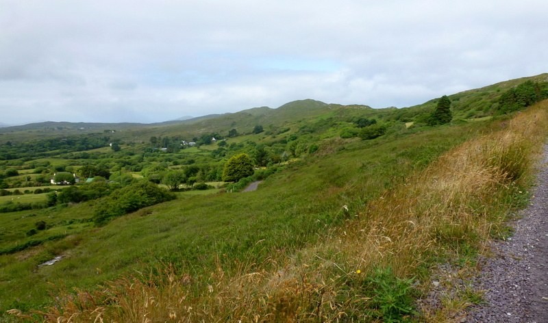
A quieter loop from Bantry around the Sheep’s Head Peninsula, between Bantry Bay and Dunmanus Bay. Ireland.com describes it as an 88 km looped route; the local trail site gives 93 km, and Sport Ireland’s listing shows a different figure (171.8 km), so check the map for the stage you plan to walk. Official info: en.wikipedia.org/wiki/Sheep%27s_Head_Way.
Know before you go
- Distance and time: about 88 to 93 km, 5 to 6 days according to the local trail site; Sport Ireland lists 6 days.
- Start and finish: Bantry West, a loop. Sport Ireland grades it strenuous.
- Dogs: not allowed.
- Watch for: Sport Ireland notes a temporary diversion over Mullaghmesha; carry cash, as not every shop on the route takes cards.
Official information: Sport Ireland: Sheep’s Head Way. Our guide: Living the Sheep’s Head Way (local trail site).
Planning your walk
The weather changes quickly on every one of these trails, so carry waterproofs even on a bright morning, wear proper boots, tell someone your route and start early on mountain days. Sport Ireland says dogs are not allowed on the Kerry Way, Wicklow Way, Dingle Way or Sheep’s Head Way, so check the rules before you bring one. If you are still planning, our guide to the Long Walk in Galway is a gentle way to begin.
☘️ Join 64,000+ Ireland Lovers
Every weekday morning, get Ireland’s hidden gems, local secrets, and travel inspiration — the kind you won’t find in any guidebook.
Subscribe free — enter your email:
Free forever · Unsubscribe anytime
Tell us your favourite
Which of these walks is your favourite, and which would you add? Tell us in the comments below.
Secure Your Dream Irish Experience Before It’s Gone!
Planning a trip to Ireland? Don’t let sold-out tours or packed attractions spoil your journey. Iconic experiences like visiting the Cliffs of Moher, exploring the Rock of Cashel, or enjoying a guided walk through Ireland’s ancient past often sell out quickly—especially during peak travel seasons.

Booking in advance guarantees your place and ensures you can fully immerse yourself in the rich culture and breathtaking scenery without stress or disappointment. You’ll also free up time to explore Ireland’s hidden gems and savour those authentic moments that make your trip truly special.
Make the most of your journey—start planning today and secure those must-do experiences before they’re gone!