

Most visitors see Ireland as a collection of counties and cities. But underneath that official map is something far older — a quiet grid of 61,000 tiny territories, each carrying the same ancient name it held a thousand years ago. They’re called townlands. Locals use them every day. Most tourists never hear the word once.
What Is a Townland?
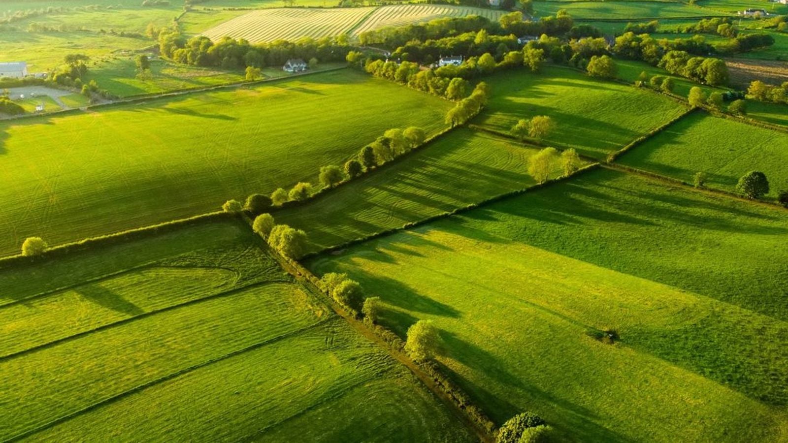
A townland isn’t a town. It isn’t even a village. It’s a small parcel of land — sometimes just a cluster of fields, sometimes a few scattered farms — that has been known by the same Irish name since long before the Norman Conquest. Ireland is divided into over 61,000 of them, and every single one has a name.
They vary wildly in size. Some cover barely an acre. Others stretch for miles across bog or mountain. But each one is a named place, and that name belongs to it alone.
For centuries, Irish people navigated their world through this grid. Your county was an administrative category. Your townland was home.
A Name for Every Hill, Fort, and Stream
The names are a compressed form of poetry. Bally — from baile, meaning home or settlement — appears thousands of times across the island. So does Knock (cnoc, hill), Kill (cill, church), Rath (ring fort), and Drum (ridge). But the combinations are always specific.
Ballymacken might mean “the townland of Conn’s son.” Knockdromin translates as “the hill of the ridge.” Kilmaclenine points to “the church of Mac Lennán.” Every name is a short sentence, and every sentence holds a story specific to that ground.
These weren’t random labels. They described what was actually there — the shape of the land, the family who farmed it, the holy well in the corner field, the ford across the stream.
How the Names Were Nearly Lost
In the 1830s, British Ordnance Survey teams moved systematically across Ireland, recording the place names they heard. The surveyors worked in English. The names they were hearing were in Irish.
The result was often creative anglicisation. Some names came through almost unchanged. Others were bent beyond recognition. Dún Mór became Dunmore. Áth Cliath — “the ford of hurdles” — became Dublin. In places, the anglicised name makes no obvious sense at all, the original meaning buried under centuries of mishearing.
But the names held. Even mangled, they stayed on maps, in deeds, and in local memory. No administration could quite erase them, because they were too useful and too loved.
☘️ Enjoying this? 64,000+ Ireland lovers get stories like this every week. Subscribe free →
Still on Every Irish Envelope
Rural Irish addresses still use townlands. A letter addressed to “Ballynascreen, Draperstown, County Derry” goes straight to the right place — no postcode, no street number required. The postal system has worked around them for generations, and so have the people.
The Irish Placenames Database — Logainm.ie — is an ongoing project to restore the original Irish-language form of every townland name in the country. It treats each name as a cultural document, not just a label. If your ancestors were recorded in an 1901 census, their townland is almost certainly traceable today.
If you’re planning a visit to trace your Irish roots, planning your heritage trip around your ancestral county often begins with finding the exact townland your family came from — a step that turns a general holiday into something deeply personal.
What the Name Tells You About Your Family
For the Irish diaspora, townland names are a kind of key. Many families who emigrated during the nineteenth century had their townland of origin recorded — not just the county. Find that name, and you find the specific landscape your ancestors left behind.
The townland of Ballyhornan in County Down. Coolreagh in County Galway. Doonbeg in County Clare. Small enough to know every face. Small enough to feel, even now, like a place you could walk across in an afternoon.
Irish families often passed the same first names down through generations in patterns tied to their townland connections. If you’d like to explore that thread further, the tradition of Irish family naming is as revealing as any old map.
A Map That Never Went Away
Ireland often reveals itself in layers. The tourist layer — the cities, the coasts, the castles. The county layer. And then, underneath it all, the townland layer. Sixty-one thousand patches of ground, each one named, remembered, and still quietly doing the job it was given a millennium ago.
The next time you drive through rural Ireland, look at the road signs. You’ll see townland names printed beneath the village names in smaller type. Most visitors don’t notice them. The locals always do.
If you’re ready to start planning your trip, the Ireland trip planning hub has everything you need to find your way — ancient townland and all.
☘️ You Might Also Love
☘️ Your Irish family has a story waiting to be found.
Discover where your Irish ancestors came from — their county, their name, their story. Our free step-by-step guide walks you through every record, DNA tool, and ancestry archive. No experience needed.
Already subscribed? Download your free Ireland guide (PDF)
Love more? Join 43,000 Scotland lovers → · Join 30,000 Italy lovers → · Join 7,000 France lovers →
Free forever · · Unsubscribe anytime
Tours & experiences you might love


Powered by Viator. Some links are affiliate links — we may earn a small commission at no extra cost to you.
Secure Your Dream Irish Experience Before It’s Gone!
Planning a trip to Ireland? Don’t let sold-out tours or packed attractions spoil your journey. Iconic experiences like visiting the Cliffs of Moher, exploring the Rock of Cashel, or enjoying a guided walk through Ireland’s ancient past often sell out quickly—especially during peak travel seasons.

Booking in advance guarantees your place and ensures you can fully immerse yourself in the rich culture and breathtaking scenery without stress or disappointment. You’ll also free up time to explore Ireland’s hidden gems and savour those authentic moments that make your trip truly special.
Make the most of your journey—start planning today and secure those must-do experiences before they’re gone!
Subscribe Free